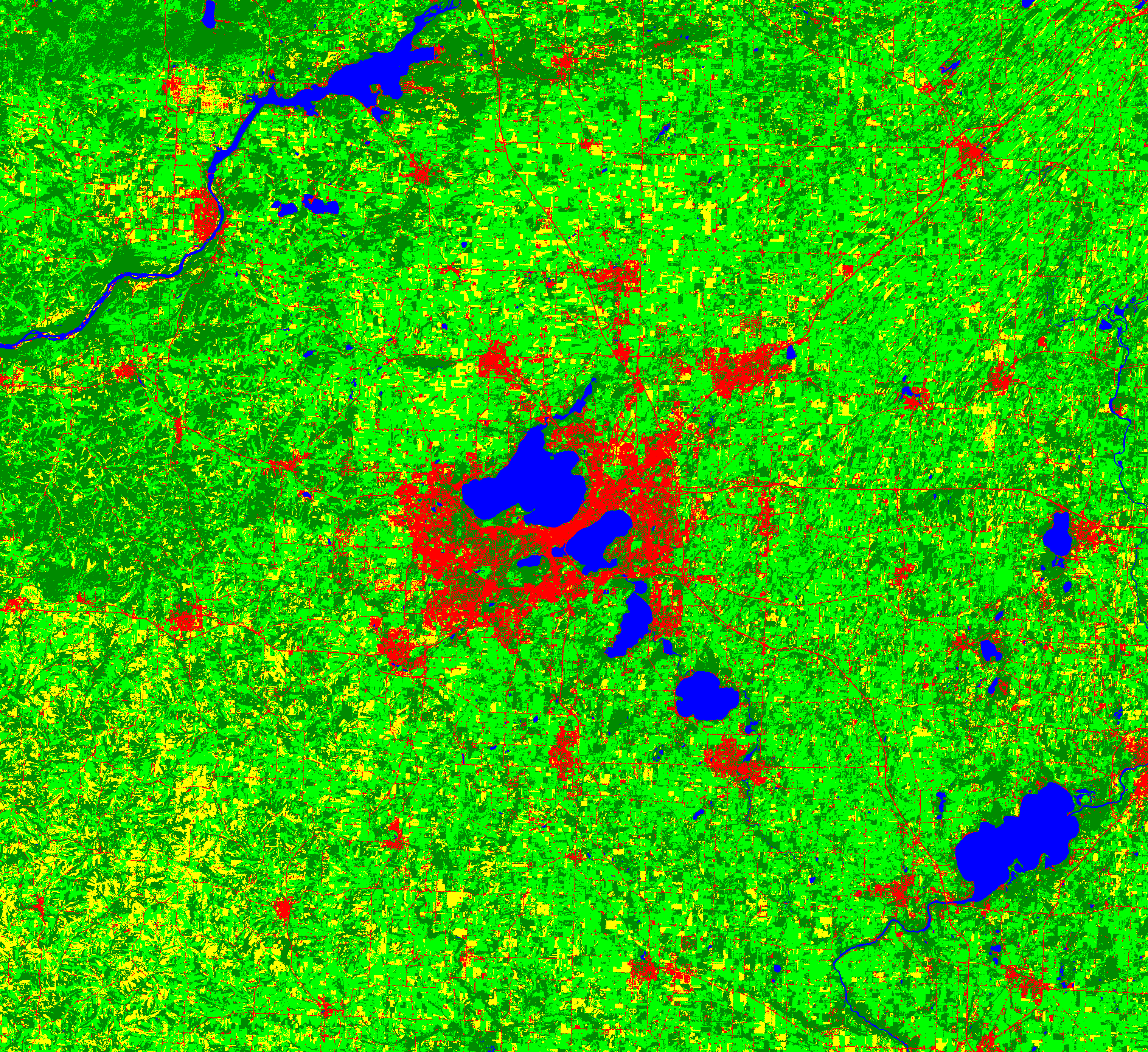
These are two examples of supervised classification of land cover for Madison, WI and the surronding area. The first is a product of a Support Vector Machine to distinguish each land cover, limited to 4 types.
Blue = water, Red = Urban, Light green = crops/grass, Yellow = bare/fallow, Dark green = forest
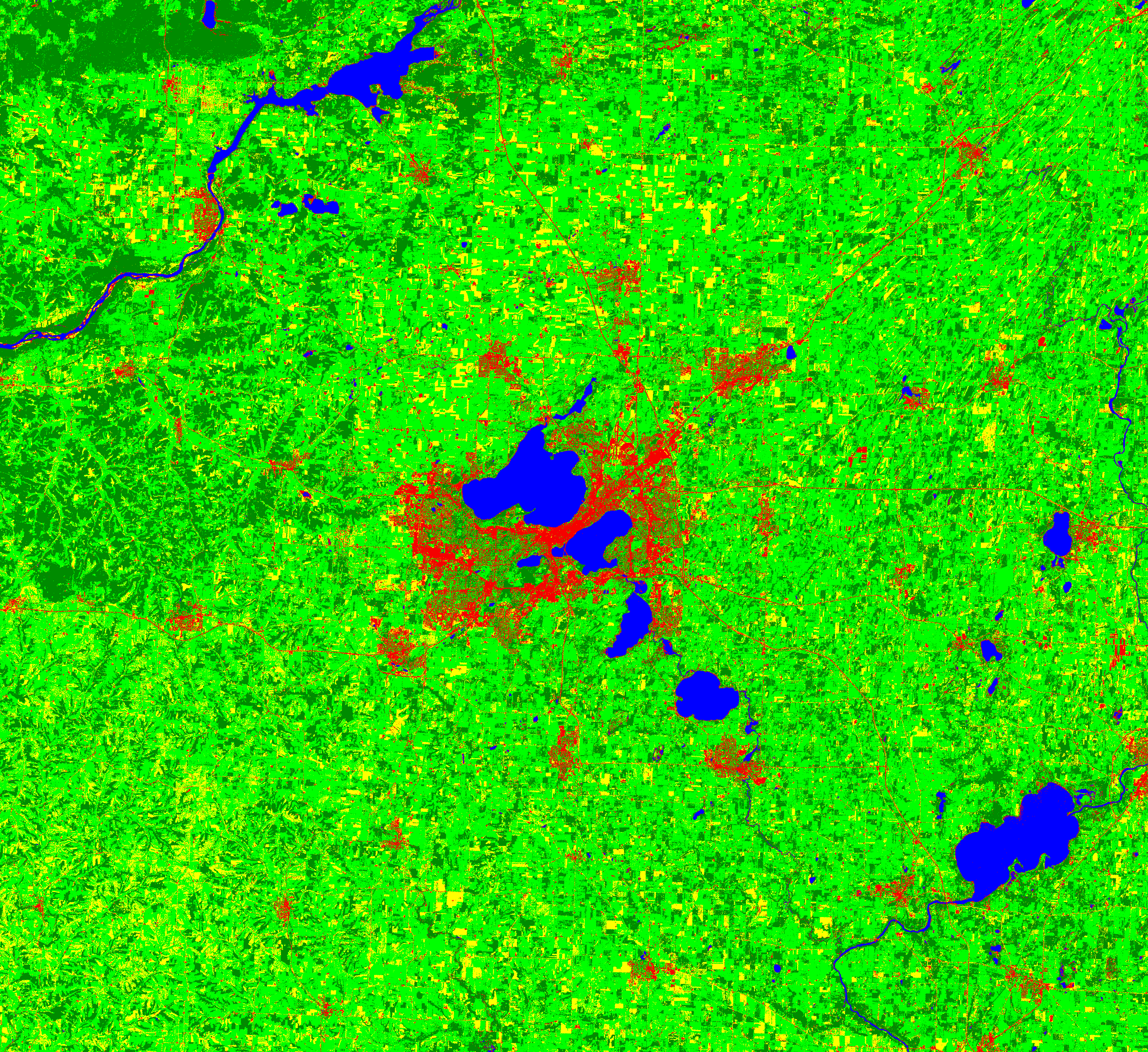
The second is a Max Likelihood classification for land types.
Blue = water, Red = Urban, Light green = crops/grass, Yellow = bare/fallow, Dark green = forest

