Maps
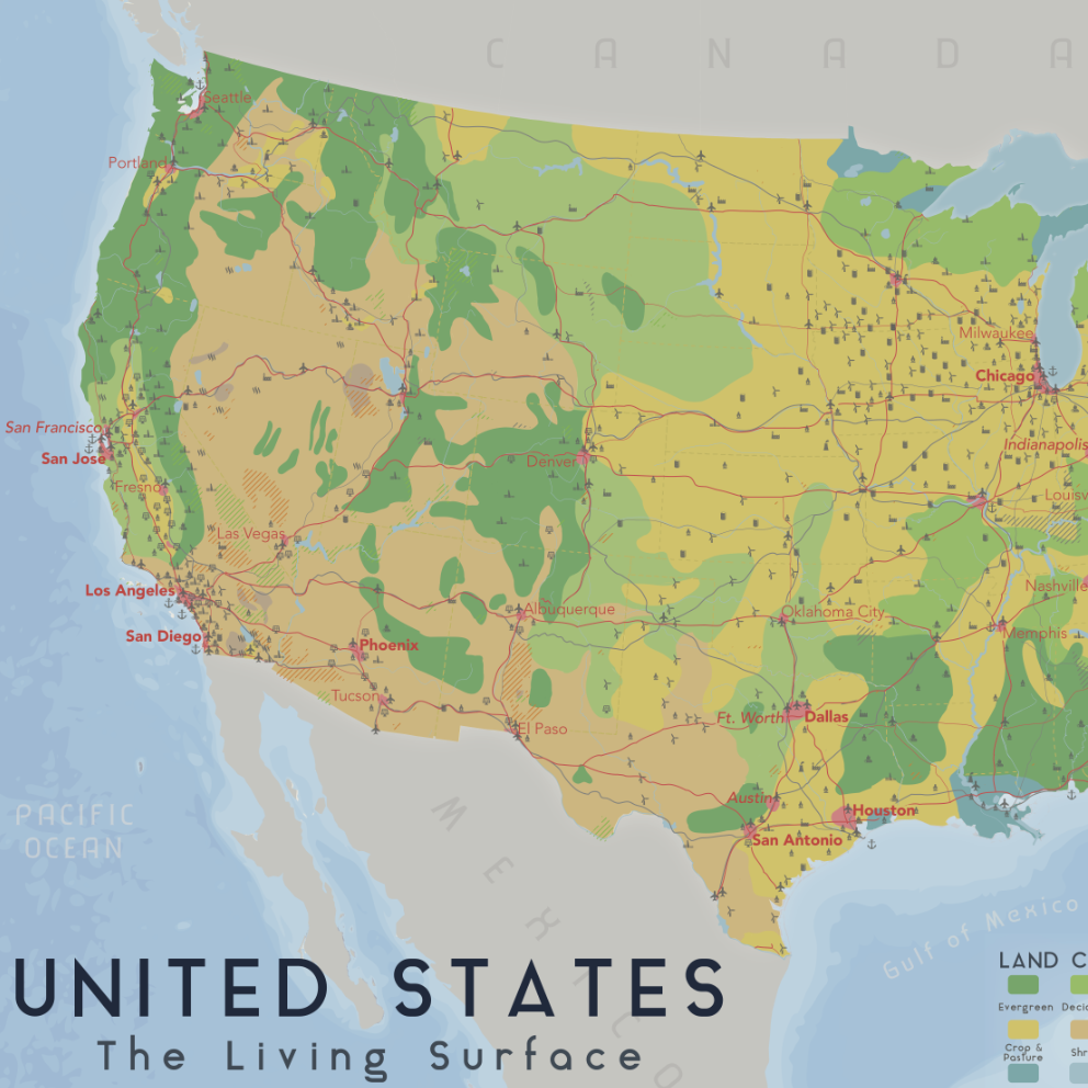
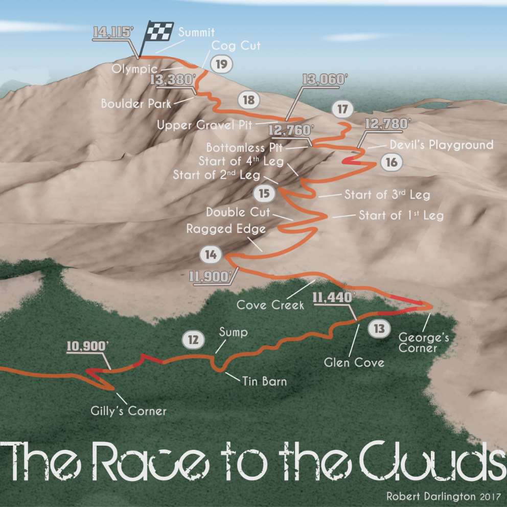
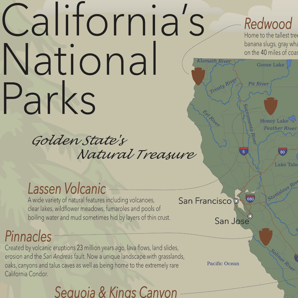
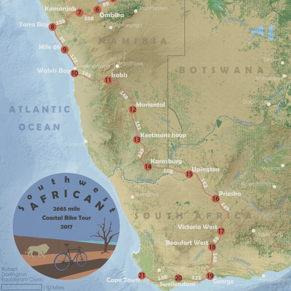
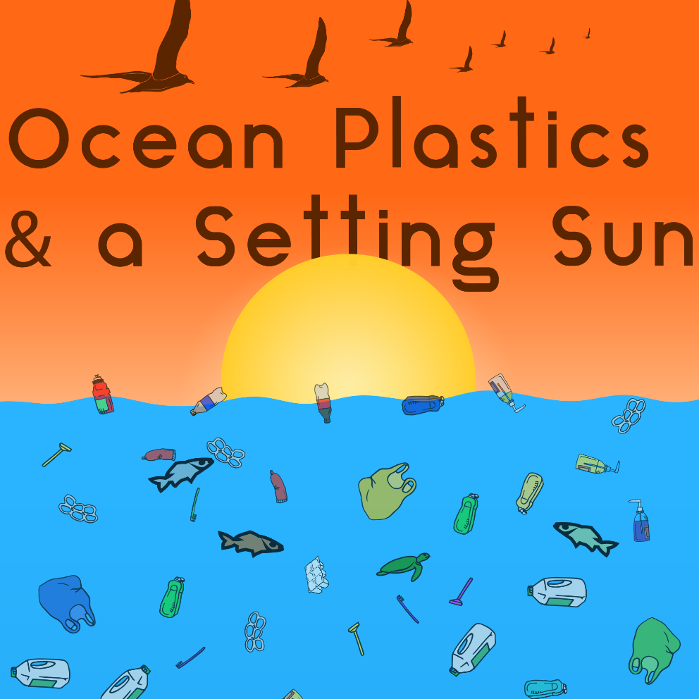
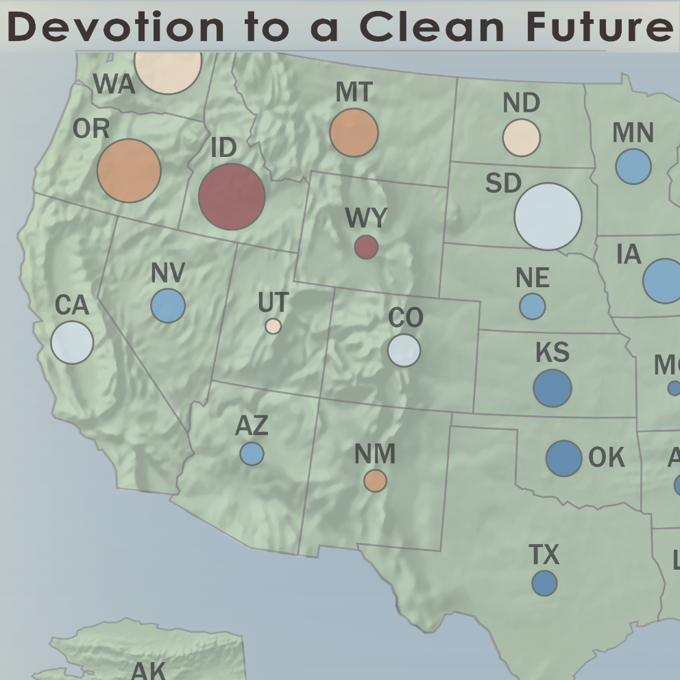
Here is an ever increasing list of the maps I have created at the University of Wisconsin – Madison over the years. My personal favorites are the first two, "United States: The Living Surface" and "The Race to the Clouds"
NSF Scholar
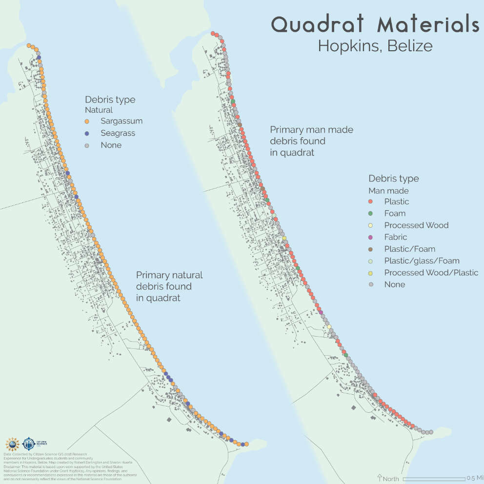
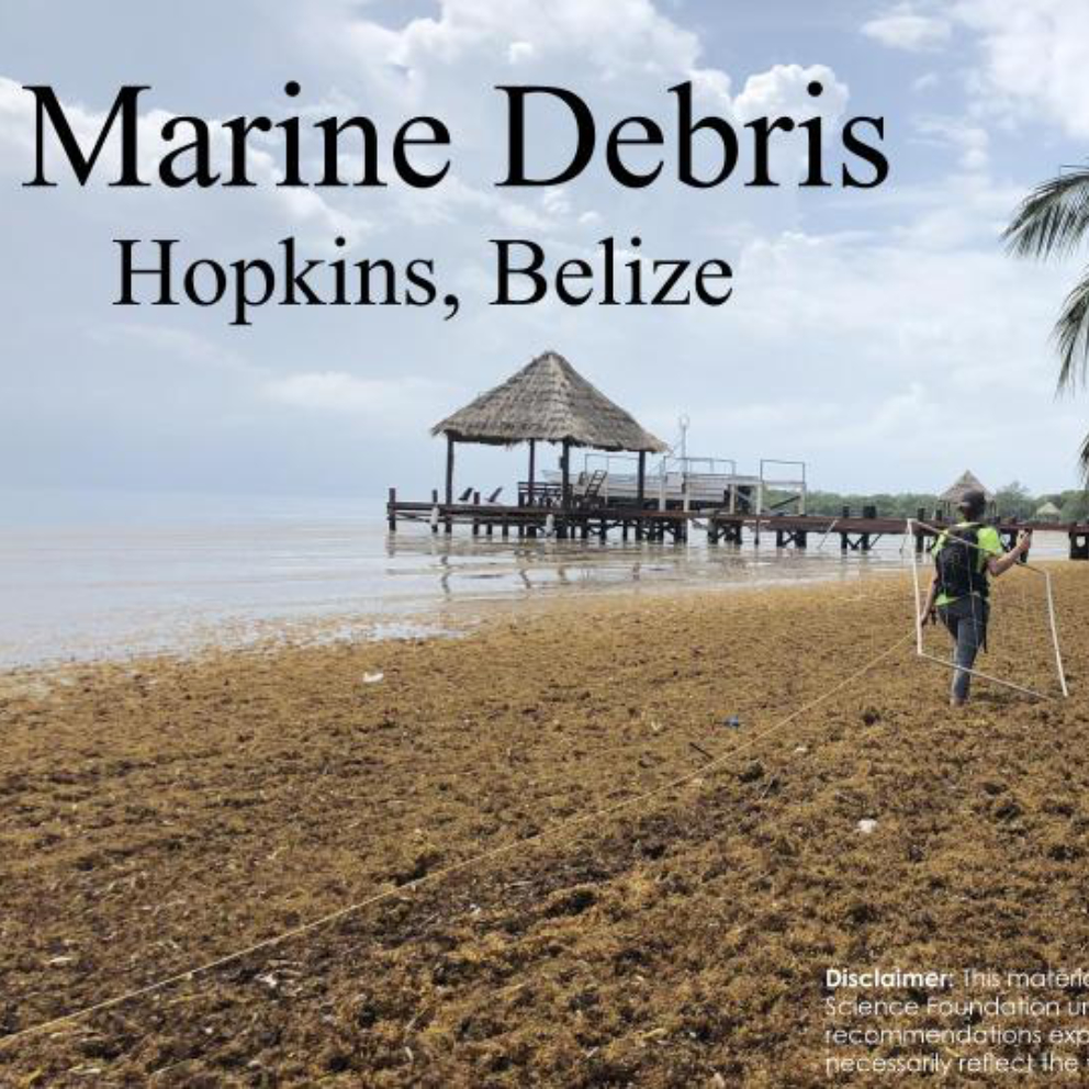
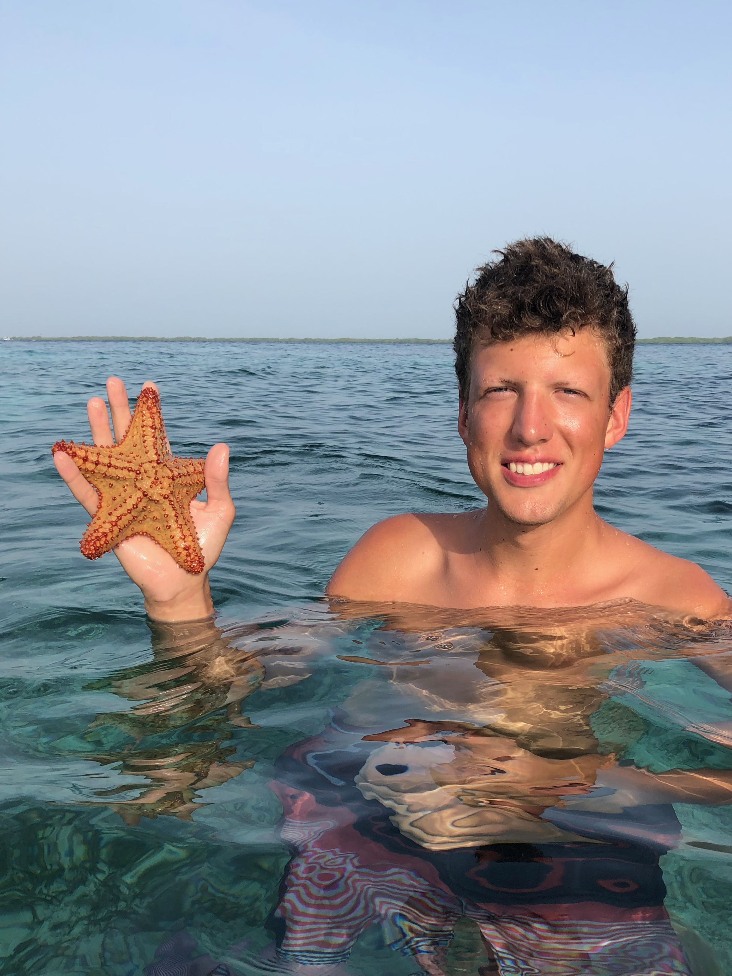
This summer I had the amazing experience of being a citizen science intern. My team focused on mapping coastal debris along the beaches of Hopkins, Belize. I lived there for a month and gained invaluable skills and a new outlook on maps and their impact in the world.
Field Research
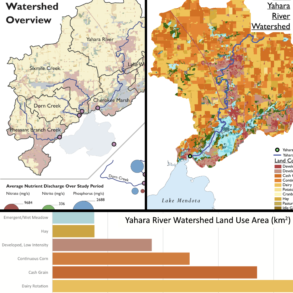
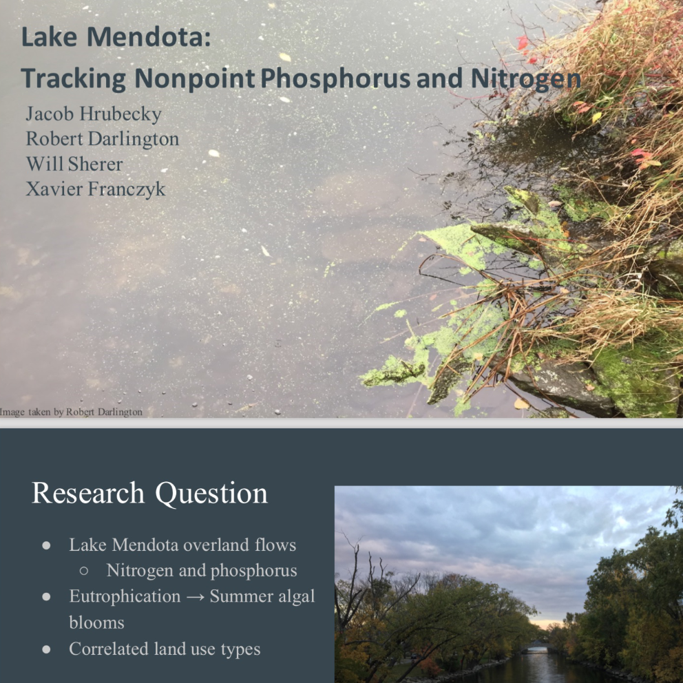
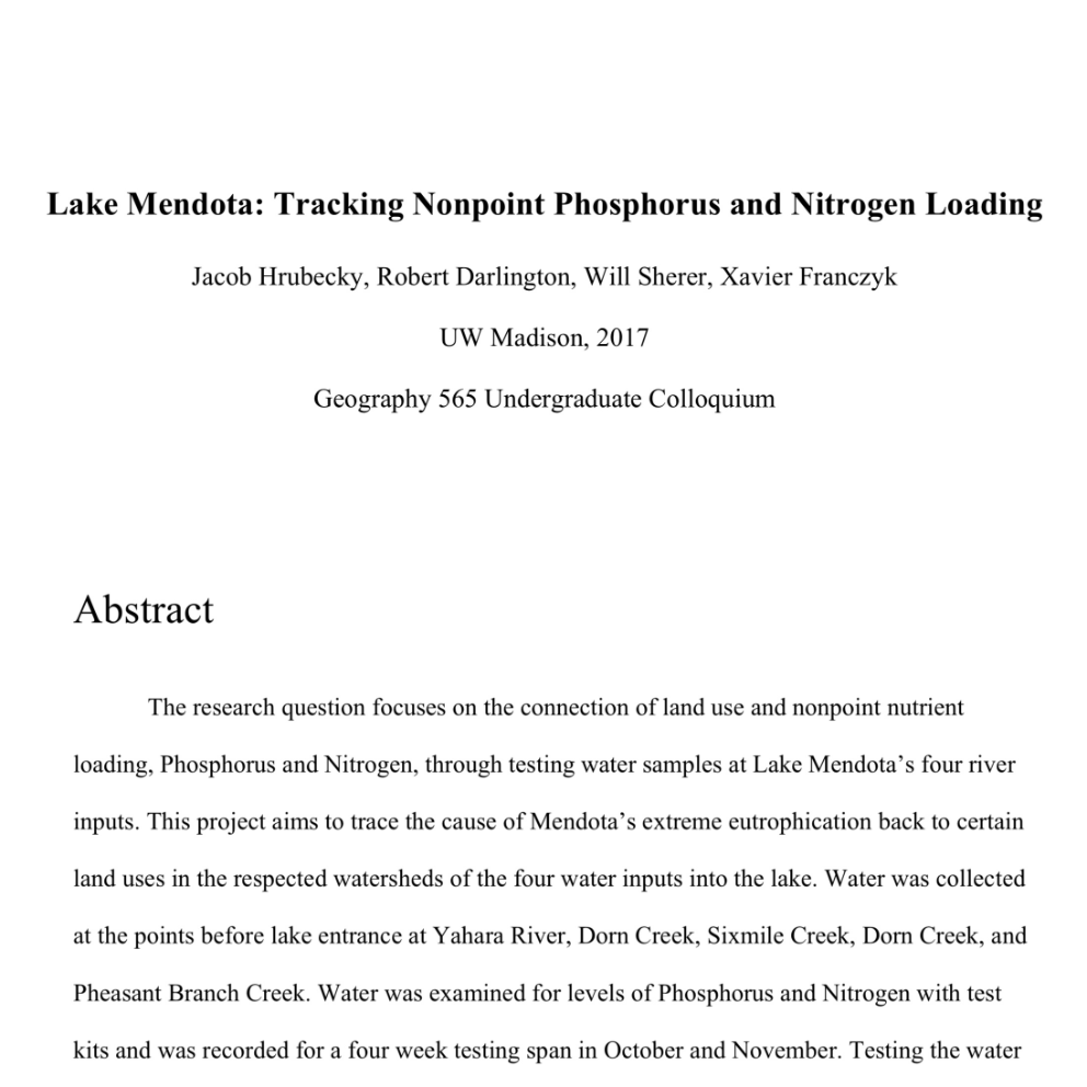
This is the result of a semster long capstone project. During the project, my group and I collected water samples around Lake Mendota for Nitrogen and Phosphorus inputs from 5 watersheds. The results included maps, a presentation, and a final research paper as given below.
Remote Sensing
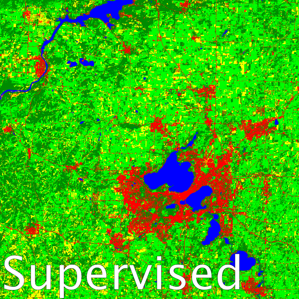
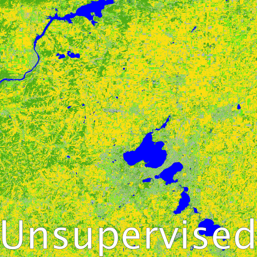
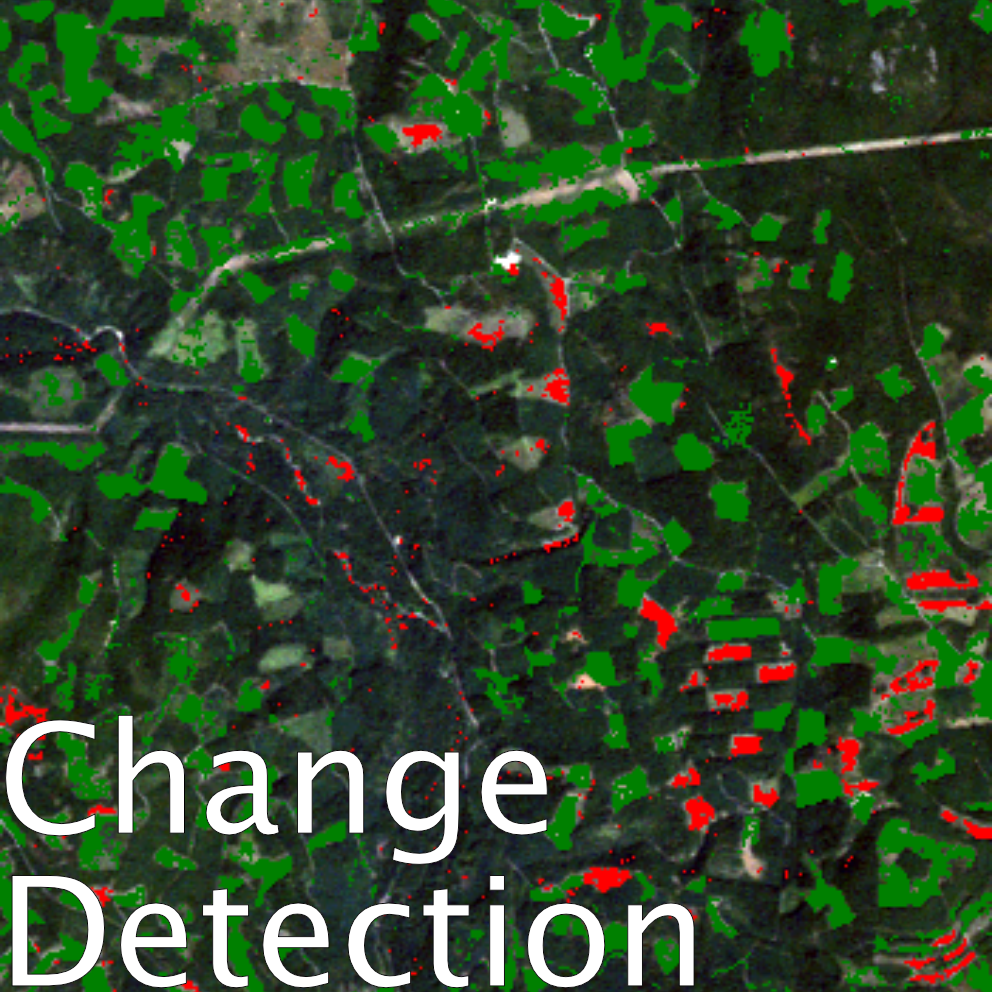
After finishing a remote sensing course, I had learned many sills, such as these exampls showing supervised and unsupervised classifications of land type, and change detection such as found with forests.
Interactive Maps
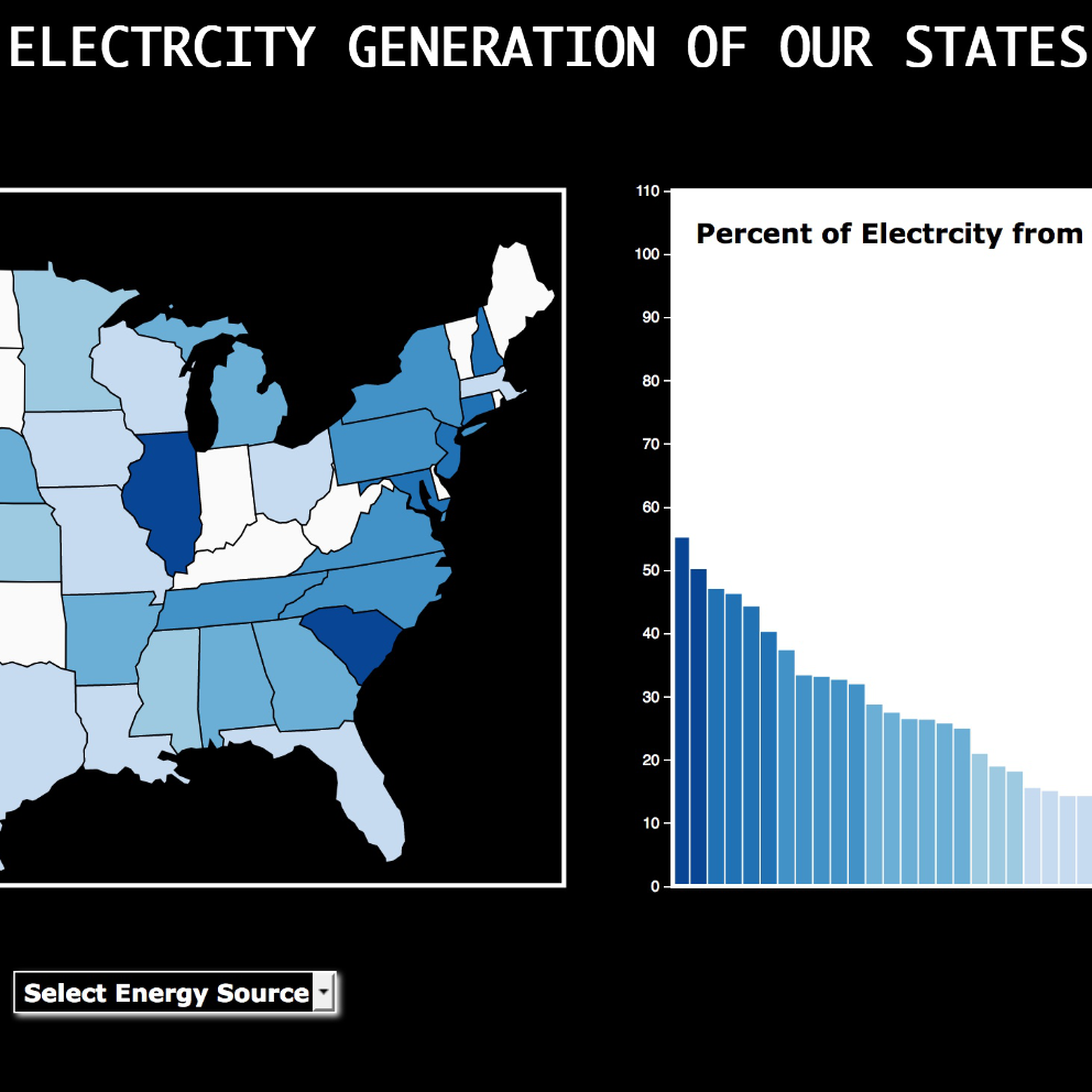
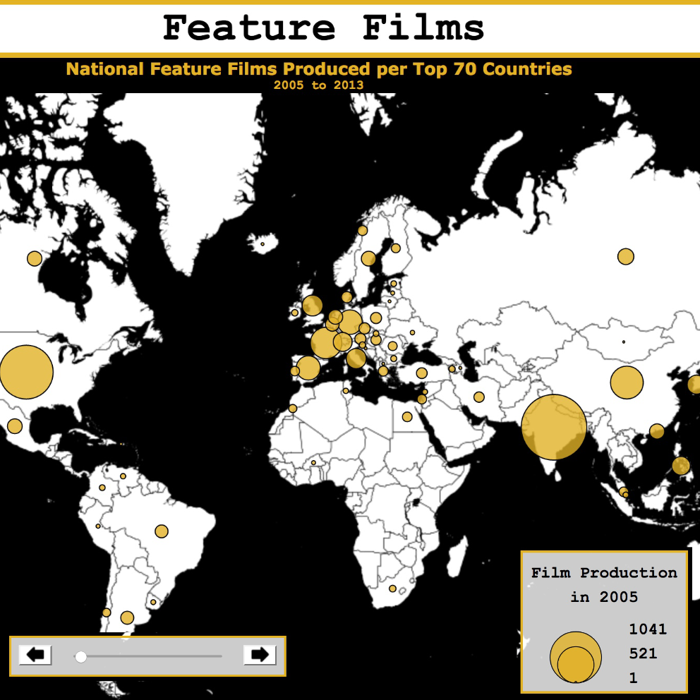
Two examples of interactive maps I made that look at world production of Blockbusters and electricity generation source per state in America.
